lifestyle
Oslo Rebuilt Around Bicycles: Navigate 10 Years of Cycling Infrastructure
Oslo has spent a decade rebuilding around the bicycle. Here is how to ride the city with confidence.
How we reported this
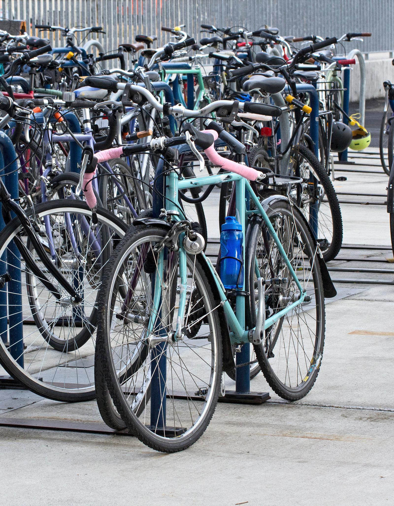
Oslo has worked hard to become a cycling city, expanding its network of lanes and calming traffic in the centre over the past decade. For residents and visitors alike, a bike is often the quickest way to cross the compact core, and in the warmer months the riverside and waterfront paths make for pleasant journeys in their own right.
The city-bike scheme
The seasonal city-bike system, Oslo Bysykkel, is the easiest way to start. Docking stations are spread across the central districts, and riders unlock bikes through an app for short trips, returning them to any station. It is designed for hops across town rather than long outings, and it runs from spring into late autumn rather than through the snow.
Where to ride
For everyday travel, the growing network of separated lanes links the inner districts to the centre. For leisure, the path along the Akerselva river runs from the fjord up through Grünerløkka and Vulkan into greener surroundings, while the harbour promenade offers a flat, scenic route past the main waterfront sights. Beyond the city, gravel tracks climb into the Marka forest for those wanting a longer ride.
Rules and safety
Norwegian rules require lights after dark and reflectors, and while helmets are not compulsory for adults they are strongly encouraged. Cyclists generally ride with traffic on the road or in marked lanes, give way to pedestrians on shared paths, and are expected to signal turns. Winter riding is possible with studded tyres, but many residents simply switch to public transport once the snow settles.
Getting equipped
Bike shops across the city rent and sell everything from commuter bikes to winter-ready models. For a first ride, starting on the quieter riverside and waterfront paths is a good way to get a feel for the city's layout before venturing onto busier streets, and checking the municipal cycle map will reveal the safest connections across town. As the network of separated lanes continues to grow, cycling is steadily becoming a realistic year-round option for more residents rather than a fair-weather one.